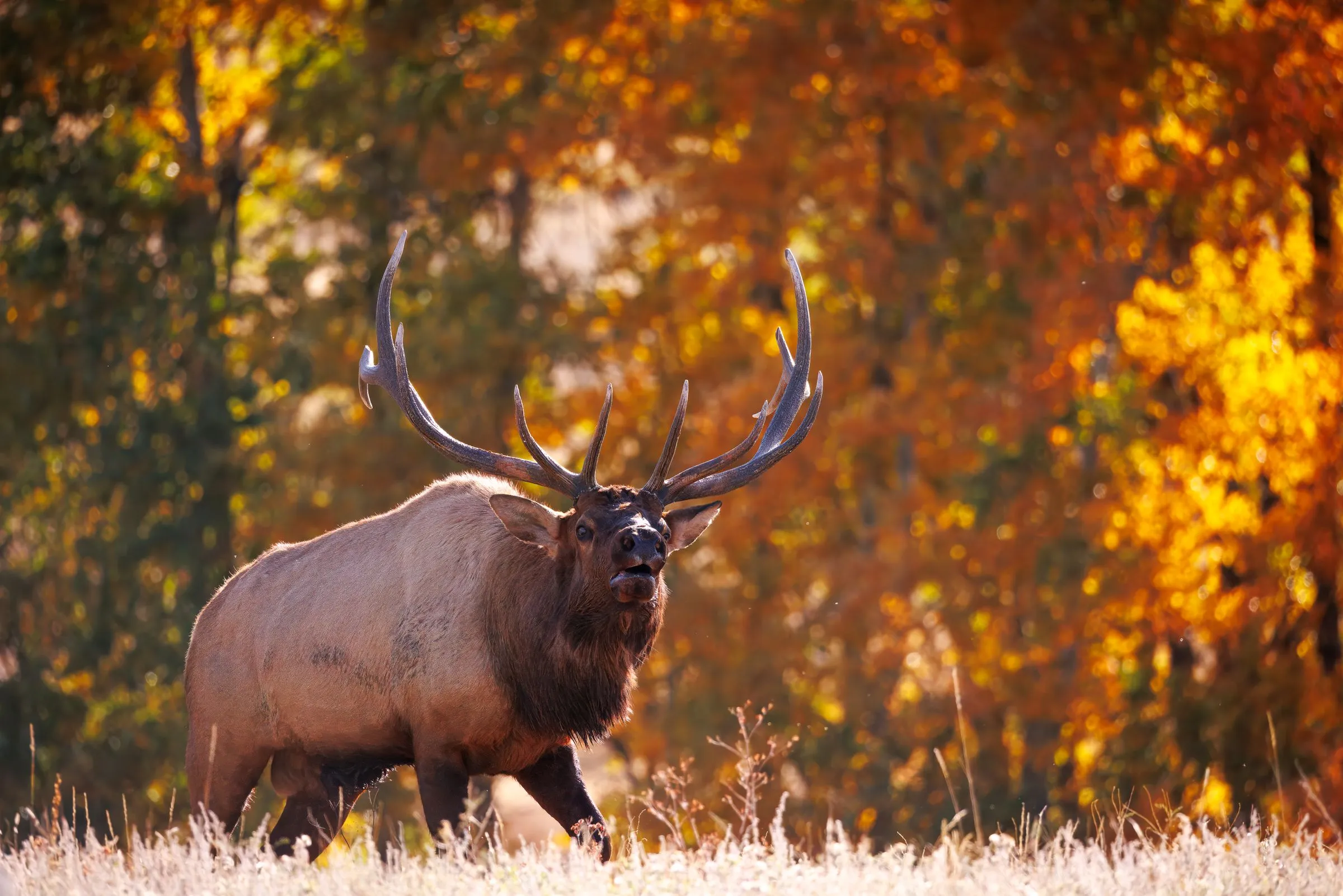
Built for the country between the contour lines.
The maps hunters carry are good at showing where things are, and bad at showing what the ground actually does. Talus closes that gap.
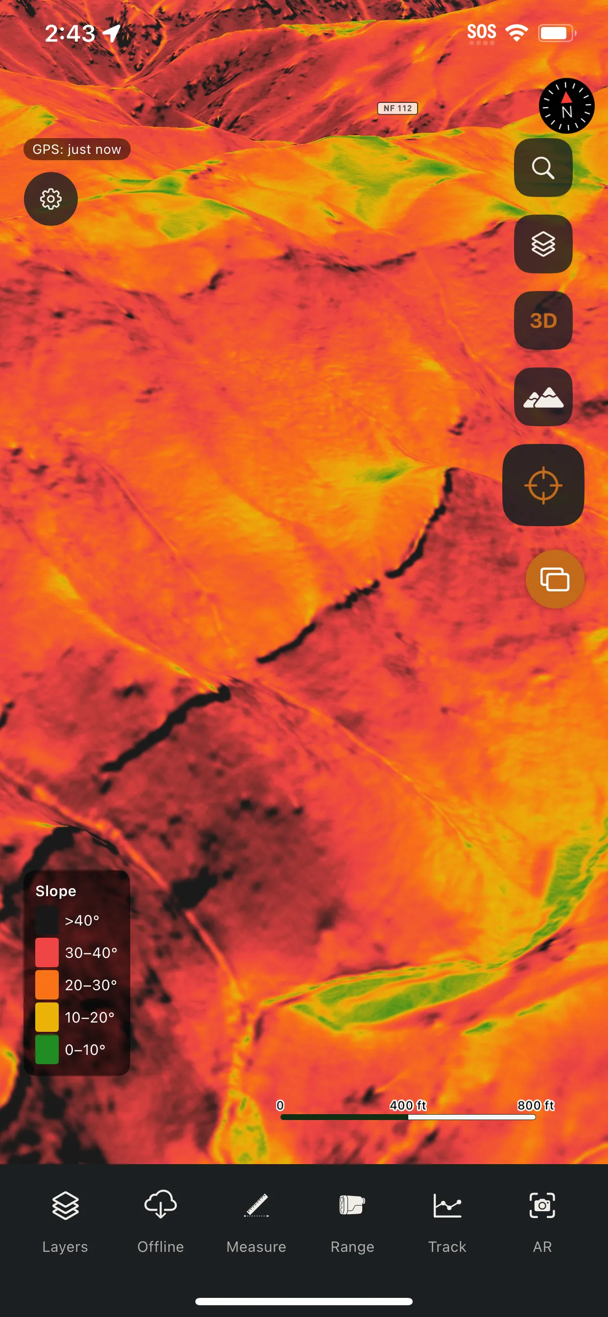
A ridge that reads as a gentle slope on a consumer app is a cliff in person. The glassing spot you counted on is worthless if a rise you never saw hides half the basin. Talus is the answer: a mapping system that treats elevation as a first-class measurement, renders the bare earth under the canopy with LiDAR, computes what you can actually see from a given spot, and lets you scout terrain in 3D before you lace your boots.
It runs natively on iOS and Android, syncs through one shared backend, and is built offline-first because the places worth going don't have bars.
Built in the backcountry.
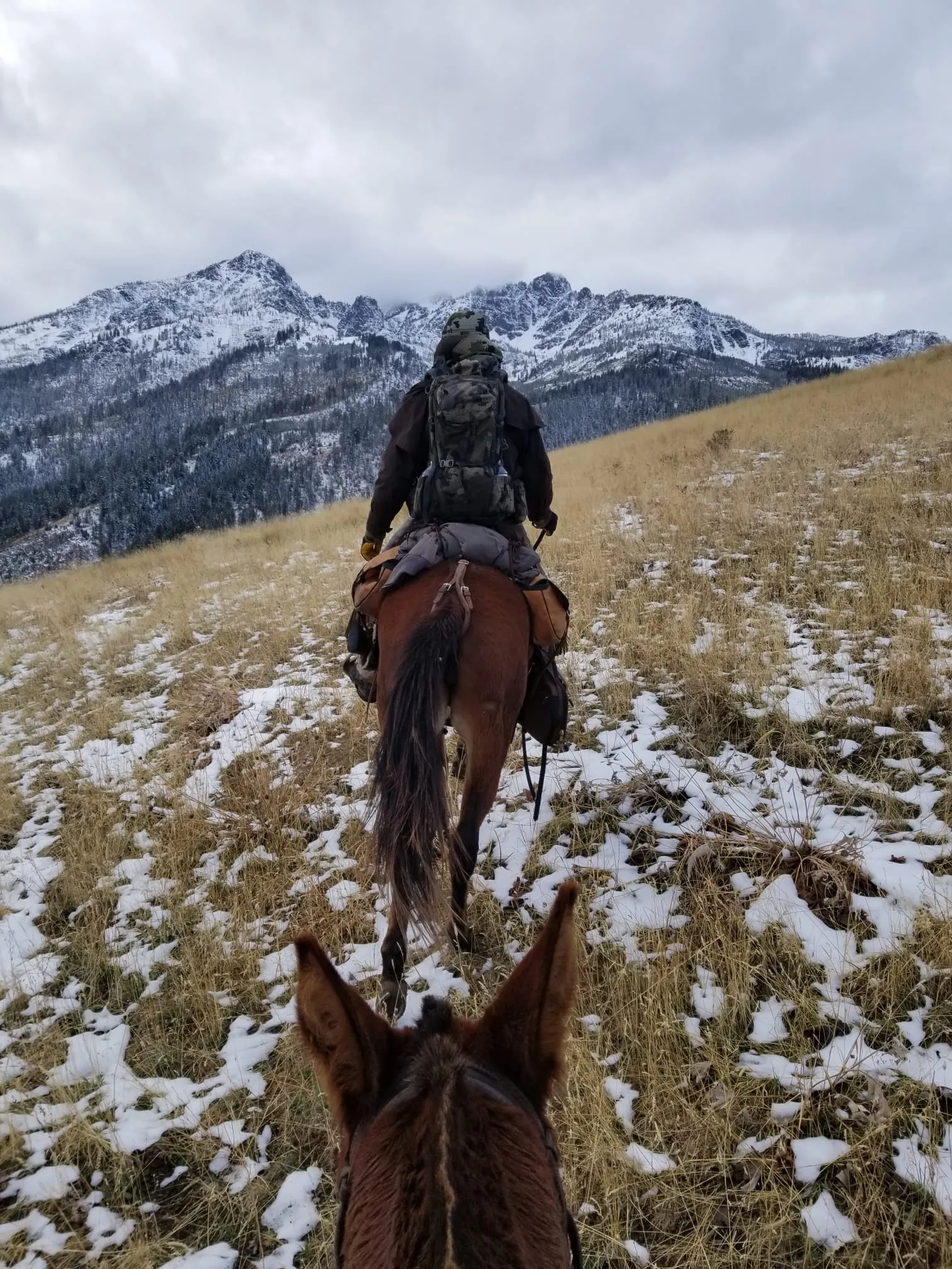
Talus wasn't dreamed up in a boardroom. It was built by a hunter who grew up chasing elk and mule deer across the West, through Washington, Oregon, Idaho, Wyoming, and Montana. First bow at eight. First deer and elk at twelve.
Hunting here is a family tradition, handed down from a grandfather to uncles, a father, and brothers. Every fall they pack miles into the backcountry on mules to hunt the same country together.
Talus is what came out of all of it. One hunter's obsession with building the most capable hunting map ever built. Every layer in the app answers a question asked on a mountain, in the cold, with the light going.
Authoritative sources, assembled for the field.
Talus isn't guessing. Every layer is built from public, authoritative datasets and processed into a form you can actually use on the mountain.
Named places
Hundreds of thousands of named peaks, streams, lakes, and springs from authoritative gazetteers. Bundled on-device for search with no signal.
Public lands
The national public-lands boundaries, so you always know whose ground you're on.
County parcels
Parcel boundaries assembled county by county, with landowner names where available, to mark the line between public and private.
State hunting units
Game-management unit boundaries, drawn per state and kept current.
Hydrography
Detailed water. Creeks, springs, and lakes for planning travel and camp.
Wildfire perimeters
Current and historical fire perimeters for reading burns, regrowth, and access.
Bare-earth LiDAR
High-resolution LiDAR processed into slope shading, hillshade, sun-and-shadow, and viewshed that see past the canopy to the true ground.
Sea-level elevation
The correction that converts raw GPS height into real elevation above sea level.
Two platforms, one map.
Native iOS and Android apps, the same pins and tracks on both, synced in real time.
Coming soon · iOS & Android